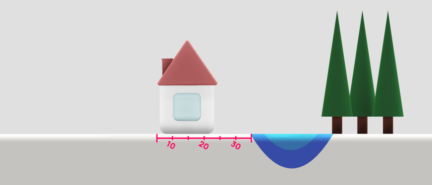
How to measure the distance from your home to a watercourse
Unsure how far your home is from a river, stream or ditch? Learn what a watercourse is, why insurers ask and how to measure the distance using Google Maps.
6
min read
When getting a home insurance quote, you may be asked how far your property is from a watercourse. Even if you know there is a stream nearby, working out the distance can be less straightforward than it sounds.
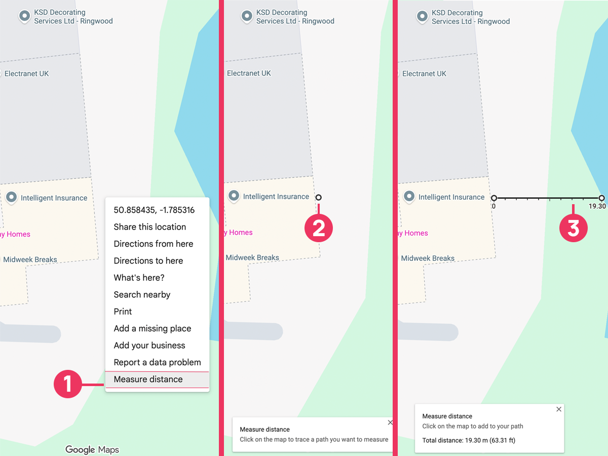
Google Maps has a free measurement tool that can help. Before using it, check what the question means by a watercourse and where it asks you to measure from.
What is a watercourse?
In everyday terms, a watercourse is a channel through which water flows. It does not have to be a large river or contain visible water all year.
The Environment Agency’s watercourse guidance for England includes rivers, streams, brooks, becks and ditches. A watercourse can be natural or artificial and can pass underground through a pipe or culvert.
Some channels remain dry for long periods or do not flow every year. However, the guidance distinguishes these from a dry channel that fills only during temporary flooding.
What about lakes, ponds, canals and the sea?
For your insurance quote, follow the features listed in the question and its accompanying guidance. A question about nearby water may include more than flowing rivers and streams. Do not exclude a feature simply because you would not normally call it a watercourse.
If you are unsure whether a pond, canal, drainage ditch or other feature counts, describe it to your insurer or broker and ask.
Why do insurers ask about distance from water?
Proximity to water can help an insurer assess potential exposure to flooding. The answer may be considered alongside flood mapping and other information about the property when deciding whether to offer cover and on what terms.
Distance is only part of that picture. Local ground levels, flood defences and previous flooding can also be relevant. A nearby stream does not, by itself, tell you how likely your home is to flood.
Answer any separate questions about previous flooding or other property details as well. If your home has flooded before, see our guide to insuring a home after a flood claim.
Where should you measure from and to?
Read the exact question and open any help text before choosing your measurement points. A measurement from the house can be very different from one taken from the edge of its garden.
Check the starting point. Does the question specify the building, the property boundary or something else?
Check the endpoint. Does the guidance say where on the watercourse to finish? Do not assume that its centre or its map label is the intended point.
Check all relevant nearby features. The river you know by name may not be the closest feature covered by the question.
Where the question asks for the nearest distance, use the shortest straight line between the relevant points. Do not follow the road, a footpath or the bends of the river.
If the form simply says “property” and does not explain what that means, ask for clarification before answering the question.
Treat a map measurement as an estimate. Its usefulness depends on identifying the right features and placing the points accurately. A postcode or address pin is a way to find the area; it may not mark the point you need to measure from.
Map and satellite views can help you compare features, but they may not make a small ditch, an underground channel or the exact property boundary clear. The absence of an obvious blue line is not enough to establish that no watercourse exists.
If you know about a nearby channel that you cannot identify confidently on the map, tell your insurer or broker. Property documents or information from the relevant local authority may help clarify its location.
What if your measurement is close to 800 metres?
Our quote form asks whether your property is more than 800 metres from the nearest watercourse, river, cliff, quarry or other excavation. If the nearest feature is exactly 800 metres away or closer, answer No. The form then asks you to identify the nearby feature and enter its distance from your property in metres.
The form also asks separately how high your property is above that feature. The Google Maps steps in this guide measure the straight-line distance on the map. If you’re unsure how to answer the height question, or your distance estimate is close to 800 metres, ask our team for help.
Does the distance tell you your flood risk?
No. Measuring a distance does not establish whether your home is at risk of flooding or whether flood damage is covered by a policy.
To explore the wider picture, use the official long-term flood risk service for England. That page also links to the services for Scotland, Wales and Northern Ireland. The England service describes an area’s risk; it does not predict whether an individual property will flood.
For your quote, focus on answering the question as it is written. If you are unsure what counts or where to measure, speak to our team so we can help clarify the information needed.
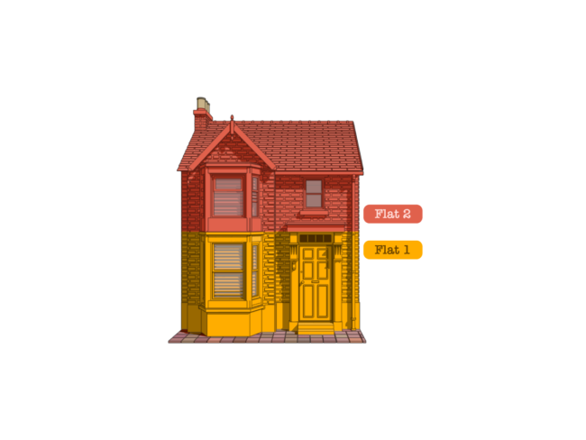
A house divided into two flats can raise questions about who insures what. We explain how ownership, shared structures and occupancy affect the cover you need.